The Advantage ofÂ
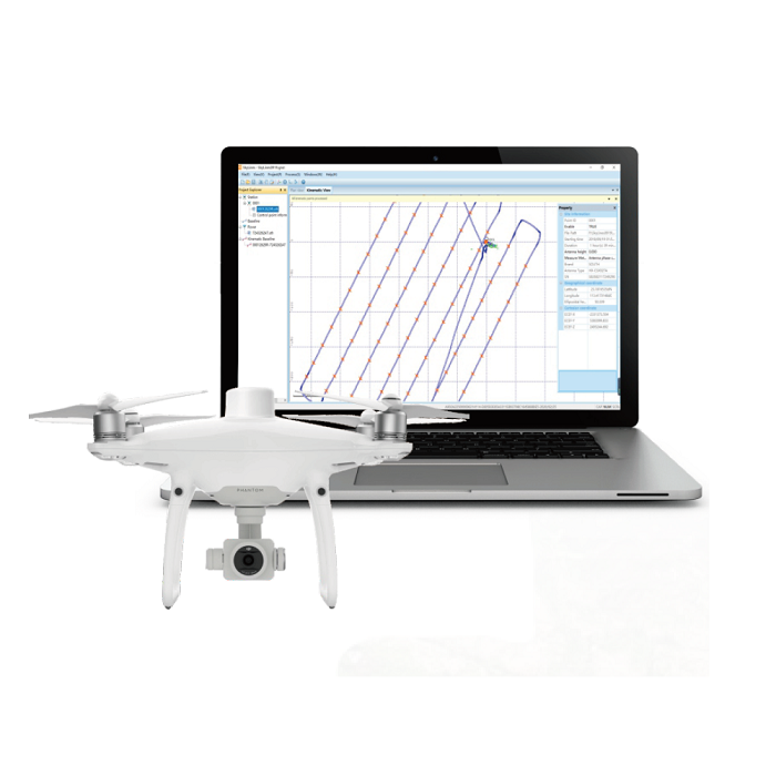
Skylines Software
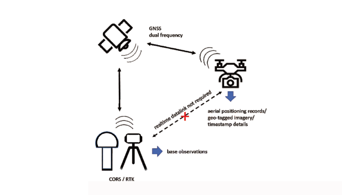
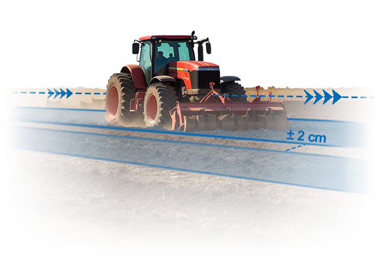
By using this powerful tool, drone users can obtain highly accurate POS (Positioning & Orientation System) data at centimeter level via post processing and may be independent of ground control points for further adjustment in aerial triangulation.
Main Features
• GNSS, GLONASS, BEIDOU, GALILEO supported
• Both WGS84 and local coordinate system are supported
• Applicable for DJI Phantom4RTK or other drone equipped with RTK/PPK module
• Applicable for Kolida GNSS and other brands GNSS receivers.
• Allows to import maximum 10 hours observation data in 5Hz.
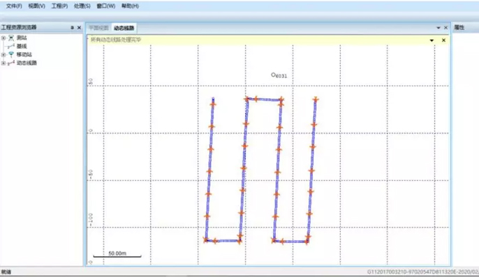
• Supports processing multi-flights data.
• POS result file can be directly applied to various types of aerial photogrammetry data processing software, such as Pix4D, Skyphoto...