now available at (iraq surveying) company
The WorldView-3 satellite sensor was licensed by the National Oceanic and Atmospheric Administration (NOAA) to collect in addition to the standard Panchromatic and Multispectral bands, eight-band short-wave infrared (SWIR) and 12 CAVIS imagery. The WorldView-3 satellite was successfully launched on August 13, 2014. Watch satellite launch.
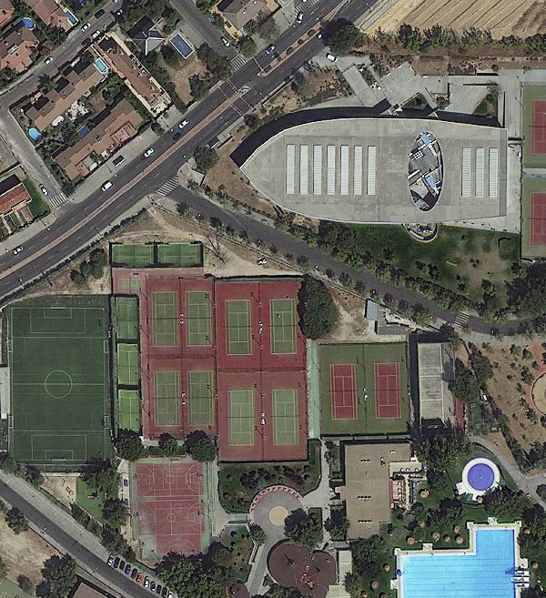
WorldView-3 is the first multi-payload, super-spectral, high-resolution commercial satellite sensor operating at an altitude of 617 km. WorldView-3 satellite provides 31 cm panchromatic resolution, 1.24 m multispectral resolution, 3.7 m short wave infrared resolution (SWIR) and 30 m CAVIS resolution. The satellite has an average revisit time of <1 day and is capable of collecting up to 680,000 km2 per day.